Where exactly is Mt. Everest located? This question enthuses millions of adventurers and geography lovers all over the world. Mt. Everest is situated on the border of Nepal and China (Tibet) and is the highest mountain in the world at 29,032 feet above sea level. The location of Mt. Everest makes it one of the most interesting geographical features on Earth, since it draws climbers, trekkers, and researchers from all over the world.
Mt. Everest, being located where it is, holds a global significance that goes beyond Mt. Everest being the tallest mountain. Indeed, its unique location gives shape to international relations, the economy of tourism, and cultural identity in both Nepal and Tibet. Knowing where Mt. Everest sits is essential to understanding why it is of such importance in the history of mountaineering and why it continues to push the limits of human exploration.
The world's highest peak serves as a natural boundary between two nations, each offering unique perspectives and approaches to this legendary summit. Whether you know it as Everest, Sagarmatha, or Chomolungma, this mountain's position creates opportunities for incredible adventures on both sides of the border.
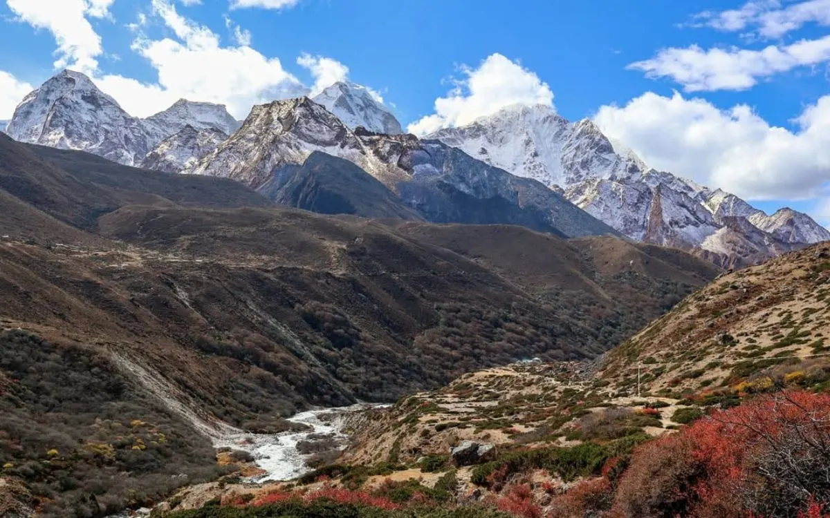
Himalayan valley with river, autumn foliage, and distant snow peaks of Everest Region.
Geographical Coordinates and Border Overview of the Everest location
Mount Everest is situated at 27°59′17″N latitude and 86°55′31″E longitude, with the summit sitting exactly on the Nepal-China border. Thus, Everest is a natural wonder shared by two countries.
The mountain spans the border, with the southern face located in Nepal's Solukhumbu District and the northern face in Tibet's Tingri County. Climbers can approach Mount Everest from either country, with clear differences in approaches.
The border bisects the summit, which is why both countries technically share this peak. This also impacts the process of obtaining climbing permits, laws and regulations, tourism, and it creates a heading for the crown jewel of the Himalayan mountain range.
Mount Everest from the Nepal side (Sagarmatha location)
Mount Everest's snow-covered summit against dark sky
Mount Everest carries the name "Sagarmatha" in Nepal, meaning "Goddess of the Sky." The Sagarmatha location includes the UNESCO World Heritage Sagarmatha National Park, which protects the mountain and surrounding ecosystems.
The park covers 1,148 square kilometers and serves as the starting point for most Everest expeditions. The traditional trek begins in Lukla airport and makes its way through traditional Sherpa villages, such as Namche Bazaar, Tengboche, and Dingboche.
Climbers will establish Base Camp at an altitude of 5,350 meters (17,598 feet) on the Nepal side, and then follow the increasingly challenging route through camps according to the famous South Col route. This route has more cultural significance, but adds to the technical challenges, such as the notorious Khumbu Icefall.
The Sagarmatha region generates an economic path for the local Sherpa communities as tourism, guiding services, and hospitality services strengthen community businesses around Everest expeditions.
Mount Everest from the Tibet Side (Chomolungma Location)
For Tibetans, Mount Everest is known as "Chomolungma," meaning "Goddess Mother of the World." The Chomolungma location provides a different way in and perspective on the world's highest mountain. Tibet's North Base Camp, located at 17,056 feet, is accessible by vehicle. This is easier than the treks that are required in Nepal. The Tibetan approach gives an impressive view of Everest's massive, shimmering North Face and impressive views of the expansive high-altitude plateau.
The Chomolungma Nature Preserve protects a unique ecosystem on the Tibetan side of Everest, including Rongbuk Valley, and the famous reasons for a visit, Rongbuk Monastery, which is 16,732 feet. The highest monastery in the world is located on Everest's north side. Climbers depart from Tibet's North Base Camp via the North Col route. Climbers depart from the North base camp on the North Col route from Tibet. Many view the North route as less technical than the route from Nepal, but it can be windy and has a different permit system managed by Chinese officials.
In Which Country Is Mount Everest Located?
Because Mount Everest resides on the international border, it is located in Nepal and China (Tibet). The summit itself is the exact border, creating an unusual situation of shared ownership.
The names given to the mountain reflect this reality with "Everest" inspired by British surveyor Sir George Everest, "Sagarmatha" in Nepal, and "Chomolungma" for Tibetans. Each name carries significant cultural recognition to the local communities.
Climbers will have to obtain permits from whichever country they are coming from, because each side has different rules, costs, and requirements. However, both countries coordinate to manage the mountain and to have common safety protocols, while still respecting their countries' sovereignty.
The location of the border has never been challenged before. Both countries recognize the summit point as the exact shared legal boundary point, and that makes it as sensible as it could be, if I may say, for such a unique mountain to be bound together by two countries in peaceful cooperation. It is one of the very few international borders that are defined on the world’s highest peak.
Routes to Everest Base Camps
Colorful base camp tents scattered across rocky terrain with snow-capped peaks
Planning a journey to either Everest Base Camp requires understanding the different routes available from both the Nepal and Tibet sides. Each approach offers unique experiences, challenges, and requirements.
Nepal Side Routes
The well-known Nepal route starts with a remarkable flight into Lukla airport, then a 12-14 day trek to Everest Base Camp. This trek goes through the middle of Sherpa land with an opportunity to better understand the culture and enjoy fantastic mountain views.
Trekking to Everest Base Camp from Nepal requires a Sagarmatha National Park trekking permit and a TIMS (Trekkers´ Information Management System) card. The best seasons to visit are pre-monsoon (March-May) and post-monsoon (September-November), when the weather is most stable.
The Nepal trek to Base Camp will require a good level of physical fitness, but no technical climbing experience. Allowing enough time to acclimatize is important; rest days in Namche Bazaar and Dingboche have been planned to mitigate altitude sickness.
The Tibet route allows travelers to drive to the North Base Camp and makes it accessible for people who cannot trek the Thailand route that I mentioned previously. The Tibet route starts at Lhasa, the Capital of Tibet, and will require multiple days of acclimatization and visual sightseeing in Lhasa and surrounding high-altitude towns in Tibet.
For the Tibet route, traveling tourists will need to obtain a Chinese visa, a Tibet travel permit, and an Alien Travel Permit. The Tibet route will also require travel to Shigatse, Gyantse, and other culturally significant Tibetan places, before Everest.
The Tibet route will also run for the most part in the same seasons as the Nepal route, though weather windows for the Tibet route can be very different than those for the Nepal route. The Tibet route by vehicle is a better option, especially for photographers, researchers, or any adventure traveler who wants an experience of Everest without a long trek.
Both routes require advanced planning, proper gear, and respecting local customs and regulations for the environment. Many travelers will choose their route based on their available time, physical abilities, and the experience that they want culturally.
How Did the Mountain Get the Name "Everest"?
The naming of Mount Everest is significant, as it shows where it is located and traces a history of mapping the Himalayas. The mountain received its English name of "Everest" in 1865 in recognition of Sir George Everest, who served as British Surveyor General of India from 1830-1843.
Before the mountain received its official name, it had been called by its local names for centuries. The geography of Mount Everest provided a sacred significance to the local communities, who called it "Sagarmatha" in Nepal and "Chomolungma" in Tibet. The names contain a deep cultural significance and depict the connection of the people living below the great mountain in its shadow.
The image of Mount Everest began to be investigated by the British Great Trigonometrical Survey in the 1840s, and the survey began referring to the mountain by its designation of "Peak XV." After surveyors had conducted the calculations of the mountain's altitudinal height, Mount Everest was confirmed as the highest peak in the world; however, they needed to provide an accurate record for their survey.
Andrew Waugh, George Everest's successor, wanted to name the mountain after him at the time, but Sir George Everest refused. Sir George Everest was very adamant about only using local names for any geographical features, and Andrew Waugh explained that all of the local names were confusing for international purposes.
The name choice mirrors the colonial era attitudes toward geography and naming, where European names would often replace indigenous names. Now, all three names, Everest, Sagarmatha, and Chomolungma, are widely known, recognizing the global significance of the name together with its deep cultural importance within Nepal and Tibet.
Who Was the First Person to Climb Mt. Everest?
Sir Edmund Hillary and Tenzing Norgay smiling together in the Himalayas
The mountain known as "Everest" was first summited on May 29, 1953. The accomplishment was made by Edmund Hillary of New Zealand and Tenzing Norgay, a Sherpa from Nepal. The mountain had been ascended, and the event stands as one of the greatest human accomplishments in mountaineering history. The event also demonstrates that Mount Everest creates an opportunity for international cooperation due to its geography.
Everest is located at the northernmost point of Nepal. Edmund Hillary and Tenzing Norgay climbed on the Nepal side of the mountain via the South Col route, which is still used by climbers and Sherpas today. Hillary and Tenzing were part of a British expedition, which was led by John Hunt. By achieving the summit, Hillary and Tenzing were part of the first successful summit of Mount Everest after many attempts that had failed from different international climbing teams, after decades of failed attempts.
Because of the limited access and unknown variables of high-altitude physiology and survival, Everest's location made early climbing attempts fairly unattainable. Many expeditions had failed before Hillary and Tenzing's accomplishment, including the notable and elusive 1924 British expedition, in which George Mallory and Andrew Irvine went missing just below the summit.
Tenzing Norgay's role was vital indeed, as his local knowledge of the mountain's location, weather conditions, and terrain was paramount to the successful ascent of Everest. As a Sherpa, he understood Everest in a way that the more international climbers did not- east, north, south, and west. The first ascent opened Everest to generations of climbers to follow, as well as both Nepal and Tibet to mountaineering.
Today, tens of thousands of people have followed, and while thousands have summited, Hillary and Tenzing's pioneering achievement is yet to be matched in modern history.
Since 1953, the technology for climbing, route preparations, and weather forecasts has improved immensely, which provides climbers greater access to a mountain that has certainly become the greatest, ultimate mountaineering challenge.
How Much Does it Cost to Climb Mount Everest?
The cost to climb Mount Everest varies significantly depending on which side you choose, with the mountain's location affecting permit fees, logistics, and overall expedition expenses. Climbing costs typically range from $59,000 to $100,000 or more per person.
Nepal Side Costs
As per the BBC News, climbing from the Nepal side will see significant cost increases starting September 2025. Nepal recently announced its first permit fee increase in over a decade, raising peak season climbing permits from $11,000 to $15,000—a substantial 36% jump that affects expedition budgets dramatically.
The new permit structure creates seasonal pricing tiers:
Peak season (April-May): $15,000 per climber
Autumn season (September-November): $7,500 per climber
Winter season (December-February): $3,750 per climber
These updated fees will push total Nepal-side expedition costs to between $40,000 and $85,000, as expedition companies must adjust their pricing to accommodate the higher government charges. Mountain climbing generates over 4% of Nepal's GDP, making these permit fees crucial revenue for the country's economy.
Tibet Side Costs
The Tibet approach often costs slightly less, ranging from $30,000 to $70,000. Chinese permits cost around $7,000, and the vehicle access to North Base Camp can reduce some logistical expenses compared to Nepal's helicopter transportation needs.
Cost Breakdown Factors
Climbing permits and government fees
Professional guide services and Sherpa support
High-altitude climbing equipment and oxygen
Food, accommodation, and Base Camp setup
Transportation to and from the mountain
Insurance and emergency evacuation coverage
Budget or Premium Options
Budget expeditions can range from $59,000 to $45,000, but usually cut some corners on safety, equipment quality, or guides' experience. Premium expeditions, which may range from $90,000 to $130,000, tend to have better safety records, more experienced guides, more reliable and durable equipment, and receive comprehensive services.
The location of Mount Everest has logistical challenges that make costs more expensive. Everything must be transported to an extreme altitude, and the mountain is isolated, so emergency evacuations are costly and complicated.
Many climbers often also spend money beyond the amount of the expedition; therefore, the total costs could be even higher than the base expedition costs. Expenses can accrue for training expeditions, personal equipment, and travel costs, all adding to the base expedition cost dramatically. Costs can add up considerably higher than what the base expedition costs, and the expenditure is not just for the climbing experience, but also represents years of time and investment preparing to safely and responsibly attempt to climb the tallest mountain in the world.
When Is the Best Time to Climb Mt. Everest?
The best time to climb Mount Everest depends on its location in the monsoon zone of the Himalayas, establishing specific weather windows that dictate climbing success and safety. Everest's location means two main seasons present themselves with very different characters.
Spring Season (March-May)
The spring season is where the majority of climbers will find their climbing window most readily, with May being the preferred month for summit attempts. Due to the location of Mount Everest, it experiences relatively stable weather patterns before the arrival of the monsoon, establishing the "fabled weather windows" which allow for summit pushes.
Pre-monsoon conditions predominantly feature:
More readily predictable weather patterns
Warmer temperatures at higher elevations
Longer daylight hours to climb
Better visibility for navigation and photography
Autumn Season (September-November)
The post-monsoon climbing season on Everest attracts fewer climbers, and sometimes it has the potential to have superb conditions. Due to the location of Mount Everest, autumn weather is generally more stable than spring, albeit slightly colder, and presents different challenges for climbing.
Some other potential advantages of autumn climbing include:
Clear crystal visibility of the surrounding peaks
Less crowded routes and Base Camps
Stable weather patterns after the monsoon have cleared
Great conditions for photography
Why Other Seasons Don't Work
Depending on its position, the mountain may experience extreme seasonal weather, which can make climbs dangerous or impossible during winter and monsoon seasons. During winter, there can be sustained hurricane-force winds and deadly cold weather; during the monsoon season, the avalanche risk and reduced visibility can be life-threatening.
Seasonal differences by location
As Everest is located on the border between Nepal and Tibet, climbers who start their ascent on the North / Tibetan side experience slightly different weather conditions and patterns than climbers starting their ascent from the South / Nepali side. The Tibetan side may have a longer weather window, but it will experience stronger winds, while the Nepali side can be warmer due to its southern-facing aspect, but can be heavily affected by moisture.
The majority of commercially guided expeditions operate during the April-May period, as this is the only time that Everest sits between the winter storms and monsoon rains. Skilled climbers use their own decisions to determine their timing based on what they have learned from the forecasts, observing the route conditions, and coordinating their climb with their schedules.
As the mountain is located in the jet stream, weather can change rapidly; thus, having flexible schedules and the ability to read and make predictions about the weather is crucial for a successful climb.
Sherpa village with traditional buildings nestled in mountain valley
FAQs
Where exactly is Mount Everest situated?
Mount Everest sits on the border between Nepal and China (Tibet) in the Himalayas, at coordinates 27°59′17″N and 86°55′31″E.
Which country owns Mount Everest?
Both Nepal and China share Mount Everest, as the summit lies directly on their international border. Neither country "owns" the entire mountain.
What is the difference between Sagarmatha and Chomolungma?
The Nepali name for Mount Everest is Sagarmatha, which means "Goddess of the Sky." The Tibetan name is Chomolungma, which means "Goddess Mother of the World."
Can you explore both sides of Everest?
Yes, but you need different permits and visas for each side. You cannot cross the border at Everest itself; you must enter each country through official border crossings.
Which side of Everest is easier to access?
Tibet's North Base Camp is accessible by vehicle, making it easier for non-trekkers. Nepal's Everest Base Camp requires a multi-day trek but offers richer cultural experiences.
When is the best time to visit Everest's location?
The best seasons are pre-monsoon (March-May) and post-monsoon (September-November) for both the Nepal and Tibet sides.
Mount Everest is located in what mountain range?
Mount Everest stands in the Himalayas, the world's highest mountain range known as Mahalangur Himalayan Range. The Himalayas stretch across several countries in Asia, and Everest sits as the crown jewel of this massive mountain system on the Nepal-China border.
Conclusion
Knowing where Mount Everest is situated reveals opportunities to consider this exceptional mountain's significance beyond its height. The positioning of Mount Everest on the border of Nepal and China presents unique opportunities for adventure, cultural exchange, and international collaboration.
Whether you are inspired by the Sagarmatha location in Nepal with its rich Sherpa culture and tough trek, or inspired by the Chomolungma location in Tibet with its well-defined accessible base camp and sweeping views over the Tibetan Plateau, both sides offer equally memorable experiences. The world's highest peak location still inspires millions of people while encapsulating the will of human beings and the beauty of nature.
Mount Everest's location in the Himalayas emphasizes it is more than just a place to climb; it is a conduit between cultures, a laboratory for science, and illustrates the magnitude of natural forces. I think understanding where Mt. Everest exists allows us to further understand why this magnificent peak possesses a special place in human imagination, as it tests our limits while teaching us about cooperation, respect, etc., and that the preservation of the most valuable natural riches our planet has to offer is important.
Ready to explore Everest's legendary location? Contactus at Himalayan Recreation today to plan your adventure to the world's highest peak.


-4.webp)
-4.webp)
-4.webp)